 vesseltracker.com
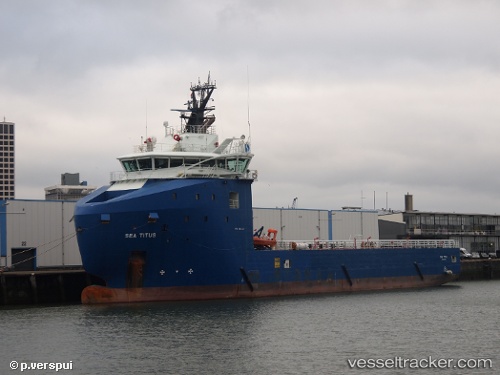
Vessel NORMAND TITUS IMO: 9575632, MMSI: 257814000 Offshore Supply Ship
Live AIS position:
UTC. Near NITEROI),
updated 2025-10-10 18:19:56 UTC.
Find the position of the vessel NORMAND TITUS on the map. The latter are known coordinates and path.
marine traffic ship tracker show on live map
The current position of vessel NORMAND TITUS is -22.84967 lat / -43.14103 lng. Updated: 2025-10-10 18:19:56 UTCCurrently sailing under the flag of Norway (NIS)
NORMAND TITUS built in 2014 year
Deadweight:
4000 tDetails:
Last coordinates of the vessel:
2025-10-10 18:19:56 UTC, -22.84967, -43.14103, course: 195, speed: 0